Tag: Geographic Information Systems

Vineyard management with geospatial technologies (Image courtesy www.efficientvineyard.com)

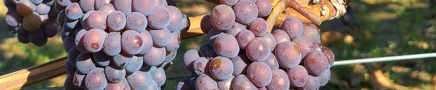
Satellite Imagery, Drones, and GIS in Vineyard Management

 mywinepal  March 4, 2023

When you think of viticulture, you probably think of people in the vineyards training the vines, thinning foliage, or green harvesting.  But there is more technology being used in vineyard management than you know.  Satellite imagery, drones, and Geographic Information Systems (GIS) are all tools that are more commonly used by viticulturists.  My career has been in geospatial technologies since…

Pedro Parra at Okanagan Crush Pad in a soil pit

Interviewing Terroir Hunter Pedro Parra from Chile at VanWineFest 2017

 mywinepal  March 18, 2017

Who is Pedro Parra? A French-educated Chilean, who looks at the definition of terroir through the use of modern scientific techniques.  The Old World has many hundreds of years to experiment, but in the New World, we do not have luxury.  From my interview at the Vancouver International Wine Festival, find out how Pedro determines terroir and the best grapes to…

BC Pinot Noir in Okanagan along a 20km grid

Latitude Speaking Through BC’s Pinot Noirs

 mywinepal  November 11, 2016

BC’s Pinot Noirs do show unique aromas and flavours according to soil type, as I have found through my GIS analysis of soil type.  But we know that our climate, although considered cool, does show variation from the warmer regions of the South Okanagan as we move northward to Lake Country for example.  A second question I posed besides the…